Geofencing for Fleet Safety: How It Works
Explore how geofencing enhances fleet safety and efficiency by preventing theft, ensuring compliance, and optimizing operations.

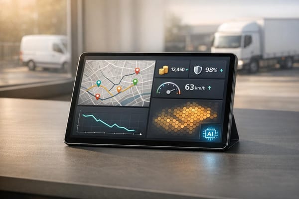
Geofencing is transforming how UK fleet managers handle safety, theft prevention, and compliance. By setting virtual boundaries using GPS, this technology monitors vehicle activity and sends instant alerts when boundaries are crossed. Here’s why it matters:
- Theft prevention: Alerts when vehicles leave designated zones, improving recovery rates to 95–98%.
- Driver monitoring: Ensures route compliance, reducing fuel costs by up to 15%.
- Compliance: Simplifies adherence to Low Emission Zones and other regulations.
- Efficiency: Automates processes like time tracking and reduces manual errors.
Geofencing combines GPS tracking with fleet management software to create custom zones and real-time notifications. It’s a practical tool for improving safety, cutting costs, and meeting legal requirements. With proper planning, training, and regular reviews, geofencing can help fleets operate more effectively and securely.
How Does Geofencing Work In Cars? - Talking Tech Trends
How Geofencing Technology Works
Geofencing combines various technologies to monitor fleet activity and streamline operational decisions with minimal manual intervention.
Creating Virtual Boundaries
The process begins by setting up virtual boundaries around specific locations using tools like GPS, RFID, Wi‑Fi, or mobile data. Fleet management software is at the heart of this setup, enabling managers to create and customise these digital perimeters.
Using geofencing-enabled platforms, fleet managers can define zones through interactive maps. They can also configure alerts for specific events, such as when vehicles enter restricted areas or stray from designated routes. These rules can be assigned to individual vehicles, groups, or specific equipment.
For instance, Milk Moovement leverages Radar technology to pinpoint drivers' pickup and delivery locations. Their system tracks geofence entries and exits, generating custom events that ensure precise operational monitoring. With compatibility across 92% of smartphones, geofencing is accessible to most drivers and managers, making it a practical solution for fleet operations.
These virtual zones work hand in hand with real-time tracking, ensuring immediate action if boundaries are crossed.
GPS Tracking and Instant Alerts
GPS tracking plays a key role in geofencing by continuously monitoring vehicle locations and triggering alerts when boundaries are violated. A well-designed alert system relies on clearly defined zones, constant tracking, and reliable trigger mechanisms.
Telematics systems further enhance geofencing by integrating location data with insights into asset usage, maintenance needs, and driver behaviour. This creates a comprehensive view of fleet performance, helping managers stay on top of operations. Instant alerts are particularly critical for addressing unauthorised movements or preventing theft, ensuring fleet safety and control.
To maximise the benefits of geofencing, fleet managers should set clear goals, define appropriate boundaries, customise alerts thoughtfully, and regularly review and adjust the system as needed.
The real advantage of geofencing lies in its ability to operate independently once set up. This allows fleet managers to concentrate on strategic tasks while the system handles routine monitoring and only flags issues requiring attention.
Main Uses of Geofencing in Fleet Safety
Geofencing technology not only streamlines fleet operations but also plays a crucial role in enhancing safety measures. Across the UK, fleet operators utilise geofencing in several impactful ways, shifting fleet management from a reactive approach to a proactive one.
Preventing Vehicle Theft
Between 2016 and 2019, over 43,000 vans were stolen - an average of 30 per day. Geofencing acts as a digital security barrier, alerting fleet operators the moment a vehicle exits a designated area. This is particularly effective after hours, as alerts can be triggered if a van is moved unexpectedly or if the ignition is started outside of authorised times. Tamper alerts also notify managers of any interference with the vehicle.
The recovery rates for stolen vehicles equipped with trackers soar to 95–98%, compared to just over 50% without modern tracking systems. Real-life examples highlight the technology's effectiveness. A construction company in the Midlands recovered a stolen transit van within hours by sharing live location data with police. Similarly, a plumbing business in London used geofence alerts to detect a theft in progress, enabling officers to intercept the vehicle in under 30 minutes.
For added security, fleet managers can set up virtual boundaries around stationary equipment, triggering alerts if it moves unexpectedly. Advanced systems even offer remote immobilisation, allowing managers to disable stolen vehicles and prevent them from being driven away. Companies like GRS Fleet Telematics integrate these advanced features into their van tracking solutions, offering UK fleets round-the-clock protection.
Tracking and Improving Driver Routes
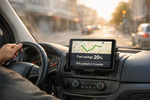
Ensuring drivers stick to approved routes isn't just about efficiency - it also impacts fuel costs, customer satisfaction, and safety. By monitoring vehicle movements, fleet managers can reduce unauthorised detours, cut down on fuel consumption, and hold drivers accountable. When combined with GPS and real-time traffic data, geofencing allows managers to optimise delivery routes for maximum efficiency.
This technology also improves customer service. Notifications can alert clients when a service vehicle is nearing their location, reducing waiting times and maintaining professionalism. To make this work, fleet managers can define specific zones - such as delivery points, distribution centres, or restricted areas - and set rules for alerts, event logging, or automated actions when vehicles enter or exit these zones.
"If assets or vehicles are being used outside of work hours or if equipment is taken to unauthorised locations, managers receive a near real-time alert."
- Verizon Connect Team
Meeting Legal and Zone Requirements
Geofencing also simplifies compliance with the UK's complex regulatory landscape. From environmental restrictions to strict delivery time windows, fleet operators face a growing list of requirements. Geofencing ensures adherence to restricted zones and legal mandates while maintaining operational efficiency. By automatically logging entries and exits, it provides documented proof of compliance, reducing the risk of fines and easing the auditing process.
This technology is particularly useful for monitoring driver behaviour and enforcing safety protocols. Fleet managers can create virtual boundaries around sensitive areas, like schools or hospitals, where speed limits or access restrictions apply. Geofencing adapts to various scenarios, from Low Emission Zones in cities to restricted delivery times in residential areas, automatically recording entry and exit times to meet regulatory needs. For fleets operating across England, Scotland, Wales, and Northern Ireland, geofencing accommodates regional variations, ensuring compliance wherever vehicles travel.
Setting Up Geofencing: Best Practices for UK Fleets
Implementing geofencing effectively takes careful planning and a clear strategy. Without proper groundwork, fleet managers risk dealing with unnecessary alerts and irrelevant data, which can disrupt operations. The first step is to identify your business’s specific needs before setting up virtual boundaries.
Planning Your Geofence Zones
Before you create your geofences, start by defining what you want to achieve. As Avi Shua, co-founder and chief innovation officer at Orca Security, explains:
"Organizations need to understand what the key areas of focus are and what they are trying to achieve from the business point of view".
Your priorities - whether they revolve around security, operational efficiency, or compliance - will shape how you design your zones. For instance, a logistics company might focus on optimising delivery routes, while a construction firm could prioritise preventing equipment theft. These goals will dictate the size, shape, and placement of your geofences.
When designing your geofences, keep in mind that GPS accuracy can vary. In most cases, it’s around 3–5m, but in urban areas, it can extend to 10–15m. To improve precision and reduce false alerts, use polygon-shaped boundaries that closely follow your operational areas. Rishi Mehra, Trimble's vice president of product vision and experience, points out:
"A simple radius covers the roads leading to a facility, but can't differentiate whether a driver is in a yard or just approaching it. Precise geofences on entrances and exits provide more accurate real-life data".
For example, a delivery company might set up alerts for specific events like arriving near a customer’s location, confirming delivery upon arrival, and notifying departure from the area. This kind of targeted alert system ensures that notifications are actionable and don’t overwhelm managers with unnecessary updates.
Urban zones, such as those in London, often require smaller and more precise boundaries due to heavy traffic and frequent stops. In contrast, rural operations in areas like Scotland or Wales can use larger geofences. When designing your zones, also consider local regulations like Low Emission Zones, congestion charges, and time-restricted delivery windows.
Once your geofences are planned, integrate them into your daily operations with proper staff training.
Staff Training and System Integration
Training your staff is essential to making geofencing work seamlessly. Employees need to feel confident using the system, so start with a thorough training plan. Begin with the basics, such as navigating the software, before moving on to advanced features like setting boundaries and configuring real-time alerts.
Make sure your team understands how to interpret alerts correctly to avoid confusion. For example, they should know the difference between a genuine security threat and a routine notification. Clear protocols are vital - if a van triggers a theft alert, staff should know whether to contact the police or take other immediate steps.
Hands-on training is a great way to familiarise your team with the system’s features. It also helps reduce uncertainties and reinforces the system’s benefits. Regular workshops and updated training materials can keep your team up to speed as the technology evolves. For example, GRS Fleet Telematics’ van tracking system has a 91% recovery rate for stolen vehicles, thanks in part to training that helps teams effectively use dual-tracker technology and real-time alerts.
Encouraging feedback during and after training sessions can also help you fine-tune future sessions to better meet your team’s needs. Once training is complete, regular reviews will ensure the system continues to support your operations effectively.
Regular Review and Improvements
Geofencing isn’t a “set it and forget it” solution. Regular reviews are necessary to ensure it continues to meet your operational needs. Fleet managers should periodically assess geofence settings to identify areas for improvement and ensure they align with any changes in operations.
Monthly reviews can help you spot issues like recurring false alerts or delays in response times. Use this data to adjust boundaries or sensitivity settings as needed. For example, changes such as new depots or road diversions might require updates to your geofence zones.
It’s also important to stay on top of compliance requirements. Evolving regulations, such as changes to Low Emission Zone boundaries or delivery time restrictions, can affect how you configure your geofences. Documenting your review process ensures that new team members understand why current settings are in place, helping maintain consistency and preserving key operational knowledge.
Benefits and Drawbacks of Geofencing for Fleet Safety
Now that we've explored how geofencing works and its various applications, let's weigh its advantages against the challenges it presents. For fleet safety, geofencing offers a range of practical benefits, though it does come with some hurdles.
Benefits of Geofencing
One of the standout advantages of geofencing is enhanced security. In the UK, vehicle theft accounts for one in every seven crimes. Geofencing helps by immediately alerting fleet managers if a vehicle leaves its designated area. This not only protects valuable assets but also improves recovery rates, saving businesses from costly replacements and minimising disruptions.
Geofencing also drives operational efficiency. For instance, Home 2 Office Water Coolers reported a 15% improvement in delivery times and more accurate updates for customers, thanks to geofencing technology. Similarly, DAB Civil Engineering managed to cut down on fuel, repair, and service costs by using geofencing to enhance fleet visibility and monitoring.
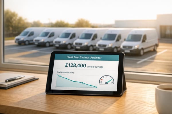
Another big plus is cost reduction. Telematics systems can lower fuel expenses by 10–15% in the first year and reduce insurance premiums by 5–12%. GPS tracking has also been shown to decrease fuel costs by 9%, accident-related expenses by 17%, and labour costs by 12%.
Geofencing is also a key tool for compliance automation. By tracking entries into Low Emission Zones and Ultra Low Emission Zones, it helps fleets avoid fines and stay on top of regulatory requirements.
Challenges and Drawbacks
While geofencing offers plenty of benefits, it’s not without its challenges. One common issue is false alerts. Although GPS can be accurate within 3–5 metres under ideal conditions, this accuracy can drop to 10–15 metres in urban areas where signal interference is more likely.
Privacy concerns are another challenge. A 2022 report from Norton found that 85% of respondents globally are keen to protect their privacy. However, an Accenture study shows that 92% of workers are open to data collection if it leads to better performance or tangible benefits. This underscores the importance of transparent communication about how data will be used.
The cost of implementation can also be a barrier, especially for smaller businesses. According to a Capterra survey, 41% of businesses regret software purchases due to high costs and reduced productivity. Basic geofencing systems start at around £7.20 per vehicle per month, while more advanced platforms with analytics features can cost £50–£75 or more per vehicle each month.
There are also management challenges. Poorly configured alerts can overwhelm managers, and any changes to routes or operational areas require frequent updates to geofence settings. Additionally, employees may resist increased oversight, requiring extra training and reassurance to address their concerns.
Comparison Table
Here’s a quick overview of the key benefits and challenges:
| Benefits | Limitations |
|---|---|
| 95% vehicle recovery success rate | GPS accuracy varies (3–15m) |
| 9% reduction in fuel costs | False alerts from signal interference |
| 17% cut in accident-related expenses | Privacy concerns among drivers |
| 5–12% insurance premium reductions | Monthly costs from £7.20–£75+ per vehicle |
| Automated compliance monitoring | Frequent updates to geofence settings required |
| 15% improvement in delivery times | Employee resistance to tracking |
| Real-time theft alerts and prevention | Compatibility issues with existing systems |
| Proactive fleet management | High data usage demands |
Conclusion
Geofencing has emerged as a powerful tool for improving fleet safety and ensuring compliance across the UK. By addressing theft and regulatory challenges in urban areas, it tackles some of the most urgent issues faced by fleet operators today.
The statistics are telling. In the UK, vehicle theft accounts for one in every seven crimes, while fatal injury rates in construction are approximately four times higher than the average across industries. Geofencing addresses these concerns head-on with features like real-time alerts, automated compliance, and tools to boost driver accountability.
Beyond safety, geofencing streamlines operations by improving route planning and monitoring driver behaviour. For fleets navigating complex regulations, it simplifies compliance with emission zones, helping to reduce fines and meet environmental requirements.
"Geofences are invaluable when it comes to safety, theft, unauthorised vehicle use and routing." - Verizon Connect Team
This technology forms the backbone of modern fleet management, combining enhanced security with operational efficiency.
Key Takeaways
Here’s how to maximise the benefits of geofencing:
- Set clear objectives: Define the goals for geofencing to ensure it’s tailored to your specific needs.
- Train your team: Address privacy concerns and emphasise how geofencing improves safety and efficiency.
- Review and adapt: Regularly update geofence settings to align with changing requirements.
For UK fleets, geofencing isn’t just an option - it’s becoming a necessity for staying ahead in safety, compliance, and operational effectiveness. The real question is how soon you can make it part of your fleet strategy.
FAQs
How does geofencing help recover stolen fleet vehicles?
Geofencing plays a key role in recovering stolen fleet vehicles by setting up virtual perimeters around designated areas. If a vehicle moves beyond these boundaries without permission, real-time alerts are sent, allowing for quick response and vehicle recovery.
When paired with advanced GPS tracking technology, geofencing becomes even more effective. For instance, systems like those provided by GRS Fleet Telematics report recovery rates of up to 91%. This makes geofencing a powerful asset for ensuring fleet security and reducing the stress of vehicle theft.
How can I set up effective geofence zones to improve fleet safety?
To set up geofence zones that work well, start by outlining your main goals. These might include boosting safety, strengthening security, or ensuring compliance. Keep the boundaries accurate to avoid unnecessary alerts and make sure they match your fleet's operational areas.
Activate real-time notifications to keep track of when vehicles enter or leave the zones. Make sure your team is well-trained in managing geofences, and take the time to review geofencing data regularly. This hands-on approach can help enhance fleet safety, lower risks, and ensure compliance runs smoothly.
How does geofencing help fleet managers comply with UK Low Emission Zones?
Geofencing offers fleet managers in the UK a powerful tool to create virtual boundaries around Low Emission Zones (LEZs). With this system in place, managers can receive real-time alerts or trigger specific actions whenever vehicles enter or leave these designated areas.
This approach helps ensure that non-compliant vehicles are rerouted to steer clear of restricted zones, cutting down the risk of fines or penalties. Additionally, geofencing simplifies compliance reporting and aids in planning more efficient routes that align with emission standards, supporting efforts to meet the UK's environmental regulations effectively.