Geofence Setup Planner
Plan virtual boundaries for your fleet with our Geofence Setup Planner. Easily define zones, calculate areas, and get tailored alert settings!

Plan Smarter with a Geofence Setup Tool
Running a business with moving parts—literally—can be a headache without the right tools. That’s where a virtual boundary planner comes in, helping you carve out specific zones for fleet or asset tracking without breaking a sweat. Imagine setting up a delivery area or a safety perimeter in just a few clicks, with clear visuals and tailored recommendations to boot.
Why Virtual Boundaries Matter
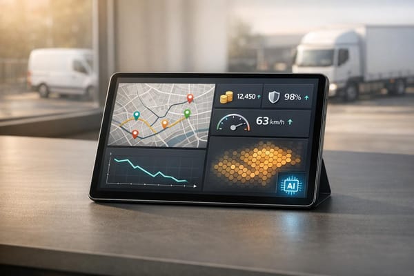
For logistics companies, defining precise areas ensures drivers stick to routes and customers get their goods on time. Construction firms can safeguard equipment by marking restricted zones, while event planners might use these tools to monitor staff or resources across a venue. The beauty of a geofence planning tool lies in its simplicity—it cuts through the complexity of spatial management. You input a location, pick a shape, and define a purpose, and suddenly you’ve got a workable plan with calculated coverage and smart alert ideas.
Boost Efficiency Today
Whether you’re managing a handful of vehicles or a sprawling operation, mapping out zones ahead of time saves hassle. A well-thought-out boundary setup can streamline operations, improve safety, and keep everything running like clockwork. Try it out and see the difference!
FAQs
What types of businesses can use this geofence planner?
Honestly, it’s pretty versatile! Delivery companies, logistics firms, construction businesses, and even event organisers can benefit. If you’ve got vehicles or assets moving around and need to keep tabs on specific areas—whether for safety, efficiency, or restrictions—this tool helps you map it out. It’s especially handy for small to medium businesses that want a clear plan without investing in heavy-duty tracking systems right away.
How accurate is the area calculation for custom shapes?
The area calculation for custom polygons is a close estimate based on the points you provide. We use a straightforward geometric formula to work it out, so while it’s not survey-grade precision, it’s more than enough for planning purposes. For circular zones, it’s spot-on using the classic πr² method. If you need pinpoint accuracy, you’d want to pair this with a real-time tracking system later on.
Can I save or export my geofence plan from this tool?
At the moment, this tool focuses on planning and visualisation, so saving or exporting isn’t built in. You’ll get a detailed summary and a visual map preview that you can screenshot or note down for reference. We’ve kept it lightweight for quick use, but if you’re looking to integrate the plan into a broader system, you can manually input the settings into your tracking software. We might add export options down the line based on feedback!