Geofence Distance Converter
Calculate geofence distances, areas, and travel times with ease. Perfect for logistics managers planning delivery zones or monitoring boundaries!
Simplify Logistics with a Geofence Distance Converter
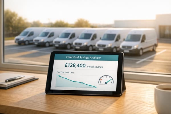
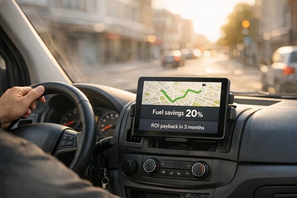
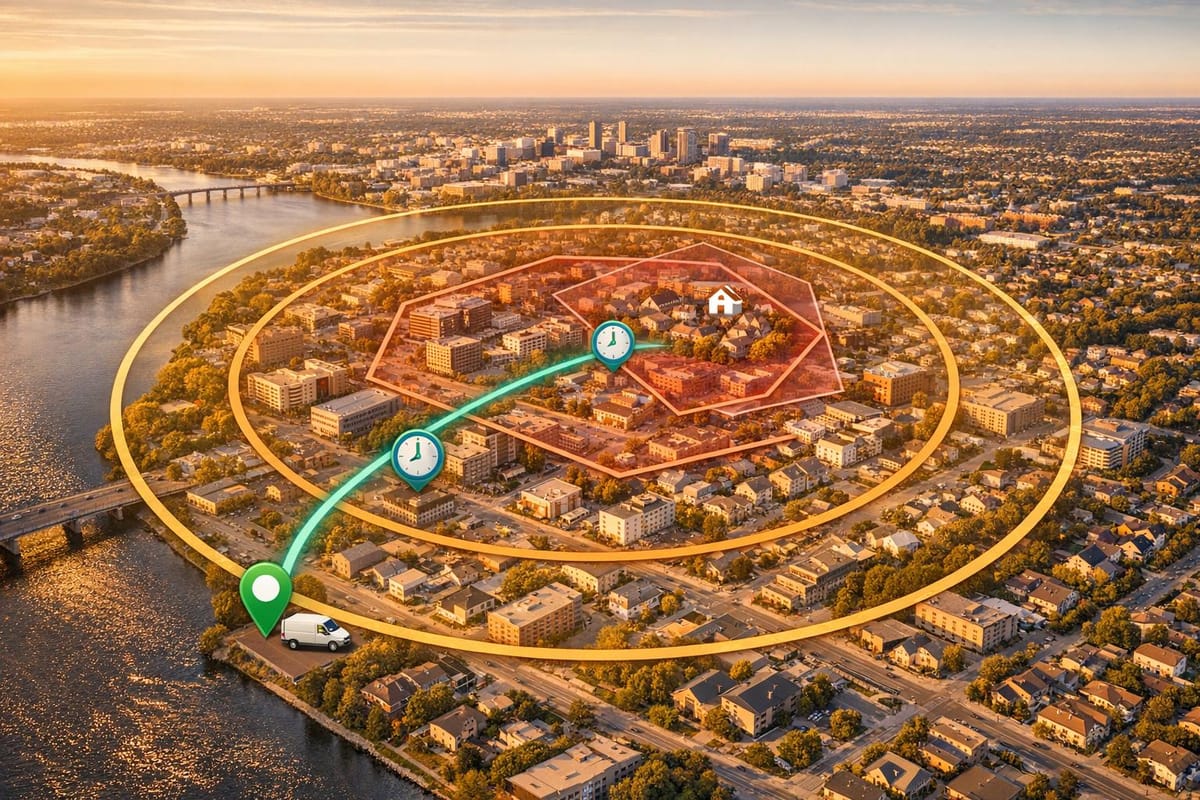
Planning delivery zones or monitoring boundaries can be a headache without the right tools. That’s where a reliable geofence measurement tool comes in, helping logistics managers and drivers map out areas with precision. Whether you’re defining a radius for a drop-off zone or estimating travel across a specific region, having accurate calculations at your fingertips saves time and reduces errors.
Why Geofence Calculations Matter
Understanding the scope of a designated area is crucial in logistics. For instance, knowing the diameter or total area within a boundary helps optimise routes and allocate resources effectively. A tool that converts radius inputs into meaningful metrics—like circumference or estimated crossing times—can transform how you approach planning. Plus, with results available in both metric and imperial units, it caters to teams working across different regions or standards.
A Tool for Every Logistics Need
From small businesses to large fleets, anyone managing transport can benefit from streamlined calculations. Imagine inputting a simple radius and instantly getting a full breakdown of key measurements. It’s practical, user-friendly, and built to support smarter decision-making without overcomplicating the process. Try it out and see how much smoother your planning can be!
FAQs
How does this tool calculate geofence measurements?
It’s pretty straightforward! We use basic geometric formulas based on the radius you input. For a circular geofence, the diameter is twice the radius, the circumference is 2πr, and the area is πr². We also convert everything between metric and imperial units so you’ve got flexibility, no matter your preference. It’s all about giving you quick, reliable numbers without any guesswork.
Can I use this for non-circular geofences?
Right now, this tool assumes a circular geofence for simplicity, as it’s a common starting point for logistics planning. If your zone isn’t perfectly round, the results can still give you a rough idea of scale, but they won’t be exact. We’re working on adding support for custom shapes down the line, so stay tuned for updates!
How accurate is the travel time estimate?
The travel time is a rough estimate based on an average speed—30 mph or 50 km/h, depending on your unit choice—across the diameter of the geofence. Real-world factors like traffic, road conditions, or detours aren’t factored in, so think of it as a baseline. It’s handy for quick planning, but always double-check with actual route data for critical decisions.