Geofence Boundary Distance Calculator
Calculate geofence area and perimeter easily with our free tool. Perfect for businesses and fleet managers to monitor delivery zones!
Discover Precision with a Geofence Boundary Distance Calculator
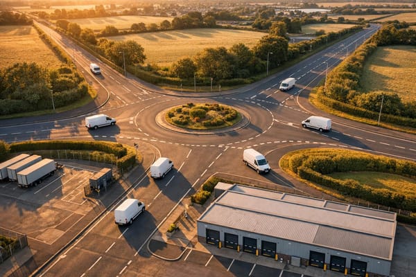
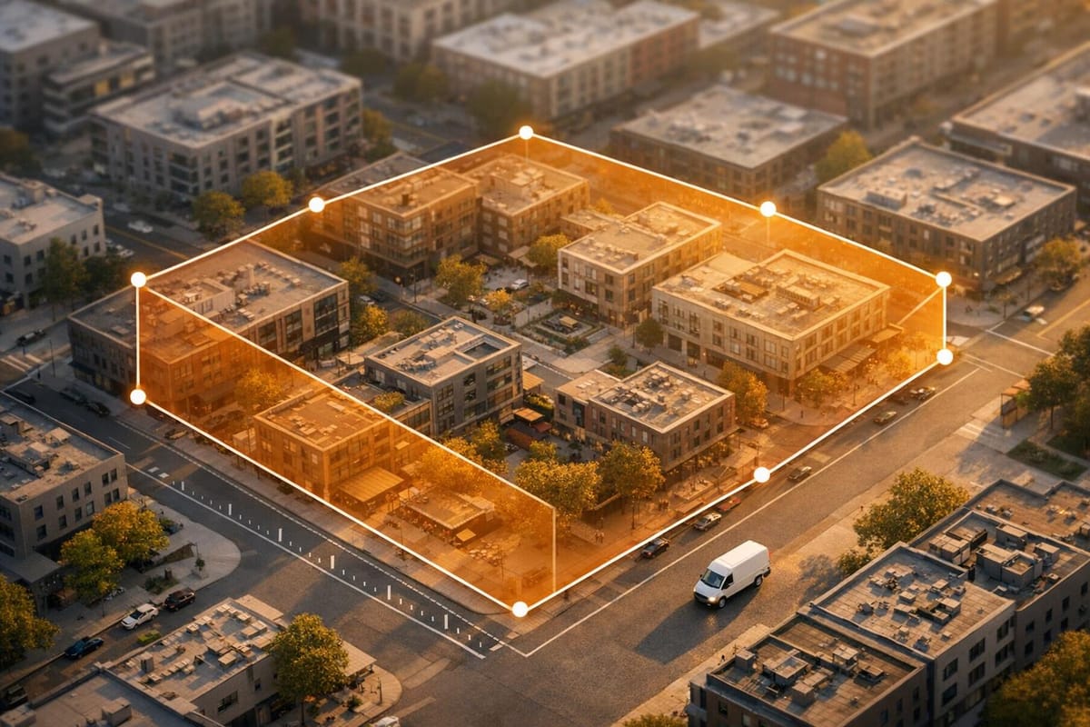
Managing a business or fleet often means keeping track of specific zones, whether for deliveries, service areas, or asset monitoring. That’s where a tool to measure geofenced boundaries becomes invaluable. It offers a straightforward way to determine the size and scope of your operational areas, helping you make informed decisions without the guesswork.
Why Calculate Geofence Metrics?
Understanding the dimensions of a designated zone can transform how you handle logistics. For instance, knowing the exact area of a virtual boundary lets you estimate coverage needs or optimise routes for your team. Fleet managers can use these insights to ensure vehicles stay within defined limits, while businesses can monitor customer reach in targeted regions. The beauty of a digital boundary estimator is its simplicity—input a few details, and you’ve got actionable data in seconds.
Tailored for Your Needs
Whether you’re dealing with a small local patch or a sprawling network, this kind of utility adapts to various shapes and units. It’s not just about numbers; it’s about giving you the clarity to plan smarter. Next time you’re setting up a zone for tracking or operations, consider using a dedicated calculator to map out the specifics with ease.
FAQs
What types of geofence shapes can I calculate with this tool?
You can work with three main shapes: circles, rectangles, and polygons. Just pick the one that matches your zone, pop in the dimensions—like radius for a circle or an estimated perimeter for a polygon—and the tool does the rest. It’s built to handle the most common geofencing needs for businesses and fleet managers.
Does the tool support different units of measurement?
Absolutely, we’ve made it flexible for you. Choose between miles and kilometres when entering your dimensions, and the tool will handle any necessary conversions behind the scenes. Your results will be consistent and clear, no matter which unit you prefer.
How can this tool help my business operations?
This calculator is perfect for planning and monitoring areas like delivery zones or service regions. By knowing the exact area and perimeter of your geofenced space, you can better allocate resources, track vehicles, or set up alerts for when assets enter or leave the zone. It’s a simple way to bring precision to your logistics or fleet management.